OS Mapping

Customised digital mapping solutions
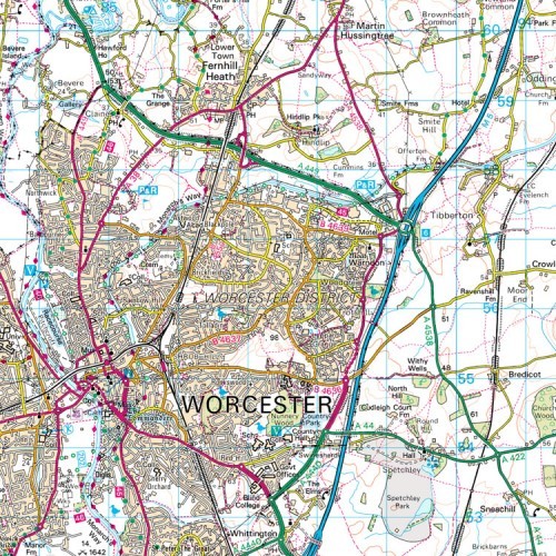
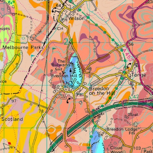
Maps@Aworth is an Ordnance Survey Mapping and Data Centre and a division of Aworth Survey Consultants. We can supply up-to-date Ordnance Survey mapping data, planning application maps and historical OS mapping, together with a large range of other professional map products.
Most important of all, you can discuss your precise requirements with our experienced advisers to get the right extent of mapping, available in a range of scales and page sizes. We provide same day turnaround on many of our products.
To buy now or for further advice please call 01825 768379 or email maps@aworth.co.uk
OS MasterMap for Business and Planning Applications is also available through our Customer Mapping Portal, a specialised service allowing desktop mappers to connect directly to all our online mapping services 24 hours a day, 7 days a week.
Planning Maps
Whether you are a private individual, property developer or architect, Maps@Aworth can supply you with site-centred mapping suitable for Planning Applications or Land Registry enquiries.
Location Plans: From £26 + VAT
- Black & white
- Output options: Hard copy or PDF
- Hard copy and PDF come as fixed scale
- Location plans can be provided at 1:1,250 and 1:2,500 scale
Block Plans: From £20 + VAT
- Black & white
- Output options: Hard Copy or PDF
- Hard copy and PDF come as fixed scale
- Block plans can be provided at 1:500 and 1:200 scale
Planning packs containing both location and block plans are available.
To buy now, or for further, advice please call 01825 768379 or email maps@aworth.co.uk
We provide same day turnaround on many of our products.


OS Mastermap
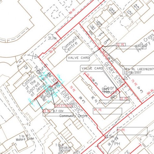
OS MasterMap® is the definitive source of highly-detailed geographic data of Great Britain. Maps@Aworth provides site-centred OS MasterMap® data to architectural practices, engineers, local authorities, property consultants and planners, as well as the general public.
- Colour options: Full colour, building fill and black & white
- Output options: DWG and DXF data and TIF image
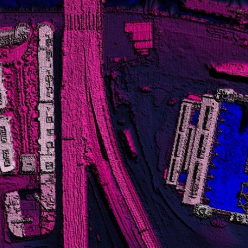
- Available with height data and aerial imagery
- All data export is provided at a scale of 1:1
From £22 + VAT
To buy now, or for further, advice please call 01825 768379 or email maps@aworth.co.uk
We provide same day turnaround on many of our products.
OS Historical Mapping
Maps@Aworth is pleased to offer access to the Groundsure Map Insight full historical range, containing the most comprehensive collection of OS historical maps, dating back to 1840. The mapping is site centred and orientated to the National Grid providing a clearer picture of the historical character of any site.
- Mapping available from 1840 to 1995
- Provided in A3 packs or as single A3 sheets
- 1:1,250, 1:2,500 or 1:10,000 scale
- Output Options: PDF or JPEG image
- Hard copies can be provided upon request
From £105 + VAT
To buy now, or for further, advice please call 01825 768379 or email maps@aworth.co.uk
We provide same day turnaround on many of our products.


