Aworth News
Class Q | Planning Maps, Legal Mapping and Measured Surveys
July 31, 2024
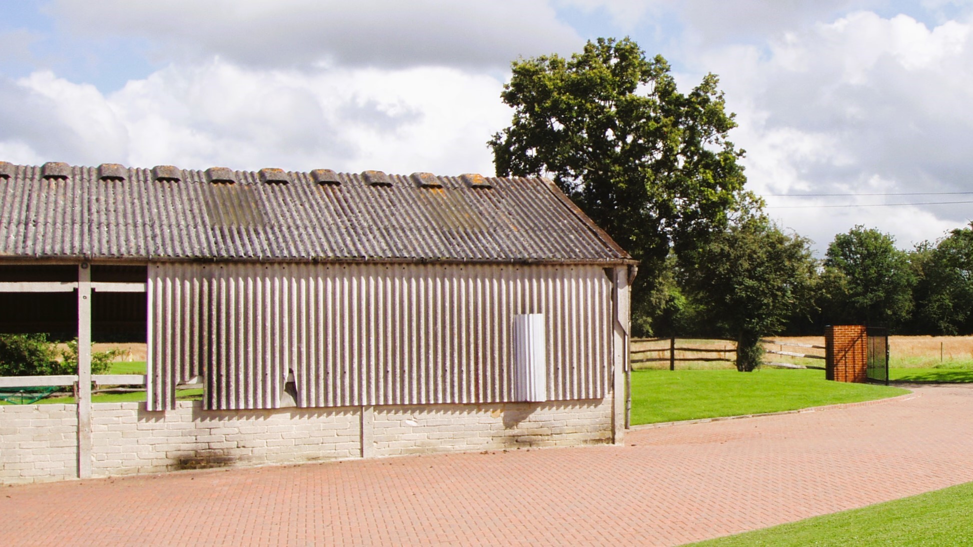
Barn conversions have become increasingly popular in recent years, thanks to the planning awareness surrounding Class Q permitted development rights. These rights allow for the change of use of a building from agricultural to residential without requiring full planning permission.
This has allowed many farms and estates to improve their business resilience and incorporate Class Q permitted development rights.
The changes to Class Q on May 21, 2024, have further enhanced the allowance for up to 10 dwellings with a total floor space of 1000 sqm to be constructed. However, under the new rules, the maximum size of a dwelling is limited to 150 sqm, and the buildings must have suitable road access.
Whilst Class Q simplifies the planning process, there are many limitations and compliances still to achieve 'Prior Approval' from the local council.
Aworth Survey Consultants collaborate with numerous local and renowned architects, offering a range of professional mapping and surveying services to provide them with the foundation to plan, design, and create amazing conversions.
- OS Planning Mapping Services
- Flood Reports
- Legal Mapping Services
- Measured Land & Building Surveys
We were incredibly pleased to provide them with our bespoke mapping & survey services that set us apart from the average surveying company. We work primarily in London, Sussex, Kent, and Surrey, but cover all the UK.
OS Planning Mapping Services
Maps@Aworth is an Ordnance Survey Mapping and Data Centre and a division of Aworth Survey Consultants.
- We can supply up-to-date Ordnance Survey mapping data, and planning application maps together with a large range of other professional map products. Whether you are a private individual, property developer or architect, we can supply you with site-centred mapping suitable for Planning Applications or Land Registry enquiries.
Flood Reports
We offer Groundsure flood and sustainable drainage systems (SuDS) data reports, tailored either to commercial or residential purposes. Our products include:
- Flood Insight Report. We provide detailed and accurate information using flood risk data from leading providers, including the Environment Agency, British Geological Survey and JBA Risk Management, helping you to give a definitive opinion and appropriate due diligence for your clients.
- Residential Flood Report. Groundsure property-specific assessment of surface water or groundwater flood risk, including the effectiveness of flood defences or flood storage schemes.
Legal Mapping Services
Aworth Survey Consultants has considerable experience providing professional, impartial advice and assistance on boundary demarcation matters and Land Registry titles.
- For new boundaries, we can produce suitable plans and any necessary fieldwork to aid your application to the Land Registry to register new property and titles.
- Aworth has a wealth of experience and knowledge in mapping and compiling complex Land Registry titles, which is particularly valuable with projects that have a multitude of Land Registry titles.
- We produce clear and precise defined Land Registry compliant drawings showing individual freeholds, leaseholds, underleases and compiled masterplans.
Measured Land and Building Surveys
Using highly accurate 3D laser scanners, 360 panoramic photography and other specialist surveying instruments we measure the building and surrounding land to gather information to produce a fully connected measured survey, maintaining 1:1 accuracy and precise correlation.
The site-recorded survey data is then processed and input into BIM or CAD software to produce existing floor plans, roof plans, elevations, sections and the surrounding topography for Architects and developers to give them the basis to plan, design and create amazing conversions.
- What are the benefits of using a professional surveyor?
A professional surveyor can provide all the detailed survey information that provides you with the basis for design and construction drawings. In our experience, it will save you money in the long run.
Underestimation of materials and labour extended timescales and project costs due to inaccurate site information can be avoided with a professional measured survey, maintaining good client relationships and upholding your hard-earned reputation.
- What size buildings do you survey?
We survey everything from a single outbuilding to large complex barns.
- What will the measured survey include?
The comprehensive measured plans define all walls, beams, truss arrangement, stairs, columns, windows and doors. Vertical information is produced for all floor levels, floor-to-ceiling heights, beam heights, window heights and roof levels. In addition, elevations and sections can be provided.
- How will a fully connected measured survey benefit the design process?
The number one reason most clients want a measured survey is to guarantee that they have accurate information to work from.
- What will it cost, and how quickly will I receive the final survey?
We assess each survey project based on your precise requirements, size, location, access and current site environment. We provide a fixed price quotation to give you optimum value, and generally, the turnaround from instruction to receiving the survey drawings is 1-2 weeks.
- Deliverables: What format will the survey drawings be?
We provide your plans, elevations and section drawings digitally in industry-standard DWG and PDF format but can also provide drawings in a wide range of CAD and BIM formats upon request. In addition, we can provide you with paper plots if required.
Please do not hesitate to contact us on 01825 768319 or als@aworth.co.uk to discuss your survey requirements and help you with the basis to design and create amazing Class Q conversions
Head Office
Norfolk House, Norfolk Way,
Uckfield, East Sussex TN22 1EP
T: 01825 768 319
London Office
The Lansdowne Building,
2 Landsdowne Road, Croydon CR9 2ER
Newsletter
Subscribe to our mailing list to keep in touch with all the latest news or follow us on:


![]()

© 2019 Aworth Survey Consultants. All rights reserved.
Site by: NWD