Our Other Professional Mapping Products

Customised digital mapping solutions
Maps@Aworth is an Ordnance Survey Mapping and Data Centre and a division of Aworth Survey Consultants. We can supply up-to-date Ordnance Survey mapping data, planning application maps and historical OS mapping, together with a large range of other professional map products.
Most important of all, you can discuss your precise requirements with our experienced advisers to get the right extent of mapping, available in a range of scales and page sizes. We provide same day turnaround on many of our products.
To buy now or for further advice please call 01825 768379 or email maps@aworth.co.uk
OS MasterMap for Business and Planning Applications is also available through our Customer Mapping Portal, a specialised service allowing desktop mappers to connect directly to all our online mapping services 24 hours a day, 7 days a week.

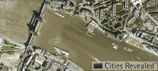
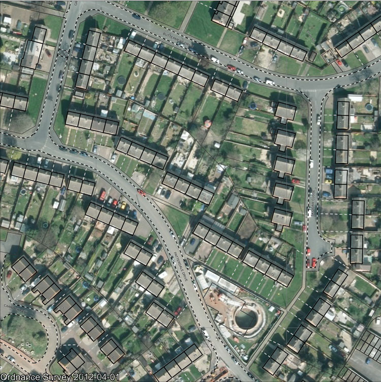
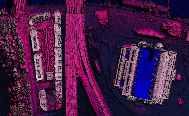
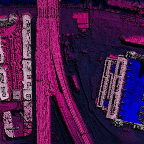
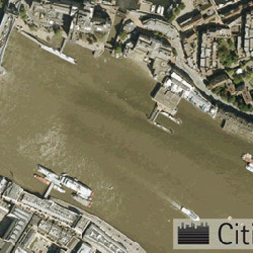
Aerial Imagery
High-quality aerial photography supplied by Maps@Aworth allows you to identify sites, access points, boundaries and road layouts. Aerial imagery is supplied in a JPEG file format, with a JGW file for Georeferencing.
Please see the table below for a list of our suppliers and their resolutions:
| Supplier | Resolution | Date Range | Coverage | Updates | WMS Available |
| Ordnance Survey | 25cm | 2008 onwards | GB | 3-5 yrs | |
| Get Mapping | 12.5-25cm | 1999 onwards | GB | 3-5 yrs | Yes |
| Bluesky | 10-25cm | 1999 onwards | GB | 3-5 yrs | |
| LPS Northern Ireland | 25cm | 2008 onwards | NI | ||
| Blom | Limited | 5-10 yrs | |||
|
Cities Revealed
| 5-25cm | 1940 onwards | Limited |
Please note: The lower the resolution, the greater the clarity of image.
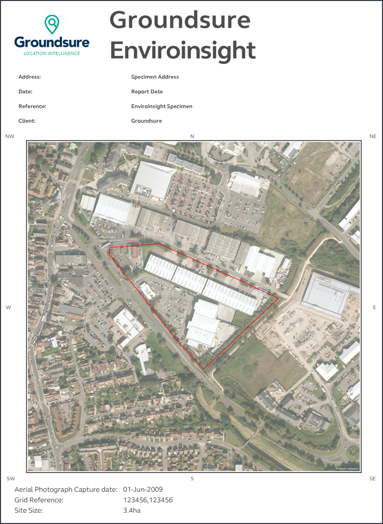
Aerial imagery may also be combined with MasterMap data and contours to provide property level mapping with relevant height information and aerial photography in instantly usable formats. We are able to provide these as individual files or in one single layered PDF file.
From £20 + VAT
To buy now, or for further, advice please call 01825 768379 or email maps@aworth.co.uk
We provide same day turnaround on many of our products.
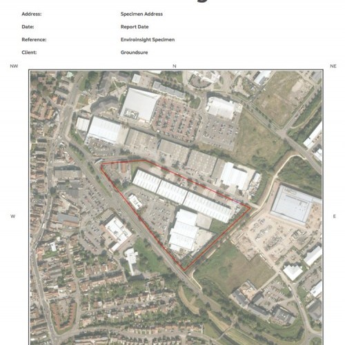
Environmental Reports & Data
Maps@Aworth offers an extensive range of Groundsure environmental, geological, flood and coal data reports, tailored either to commercial or residential purposes. Our products include:
- Residential Homebuyers Report. A robust risk-rated environmental screening report for residential homes, enabling homebuyers to purchase with confidence.
- Commercial Review. High-quality due diligence reports, providing a clear assessment of environmental and flood risks.
- Residential or Commercial Planning Report. A comprehensive insight into current and future developments and planning applications in the local area.
- Residential Ground Stability Report. The report will identify potential risks from natural and man-made subsidence, including essential detail on the industrial and mining history.
- Commercial Screening Report. An environmental search report designed to help solicitors address their obligations under The Law Society Warning Card on Contaminated Land.
- Coal Report. Coal mining search report for non-domestic properties or properties where development is planned, from a single plot up to 25 hectares.
All our reports come in PDF format with hard copies available on request.
From £25 + VAT
To buy now, or for further, advice please call 01825 768379 or email maps@aworth.co.uk
We provide same day turnaround on many of our products.
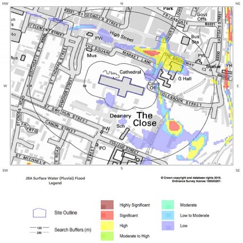
Flood & SuDS Reports
Maps@Aworth is able to offer Groundsure flood and sustainable drainage systems (SuDS) data reports, tailored either to commercial or residential purposes. Our products include:
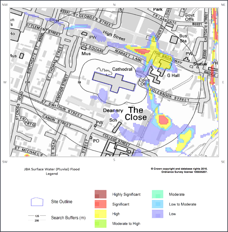
- Flood Insight Report. We provide detailed and accurate information using flood risk data from leading providers, including the Environment Agency, British Geological Survey and JBA Risk Management, helping you to provide a definitive opinion and appropriate due diligence for your clients.
- Residential Flood Report. Groundsure property-specific assessment of surface water or groundwater flood risk, including effectiveness of flood defences or flood storage schemes.
From £26 + VAT
To buy now, or for further, advice please call 01825 768379 or email maps@aworth.co.uk
We provide same day turnaround on many of our products.
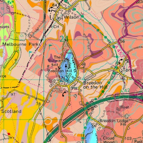
Geological Maps
Maps@Aworth is able to offer a wide range of geological mapping products including:
British Geological Survey 1:50,000
The standard British Geological Survey information is supplied in PDF. Bedrock (Solid) Geology, Superficial (Drift) Deposits, Mass Movement, Artificial Ground and linear features such as Faults and Mass Movement, Artificial Ground and linear features such as Faults and Folds are included.
British Geological Survey GeoSure
The GeoSure data sets from the British Geological Survey provide information about potential ground movement or subsidence in a helpful consistent rating format.
British Geological Survey 1:50,000 PLUS GeoSure
Combine the British Geological Survey geological mapping and GeoSure product for a full understanding of the rock types present and the implications that these have on potential ground movement or subsidence. The layered PDF output prevents the extensive levels of information from becoming overwhelming.
From £14 + VAT
To buy now, or for further, advice please call 01825 768379 or email maps@aworth.co.uk
We provide same day turnaround on many of our products.
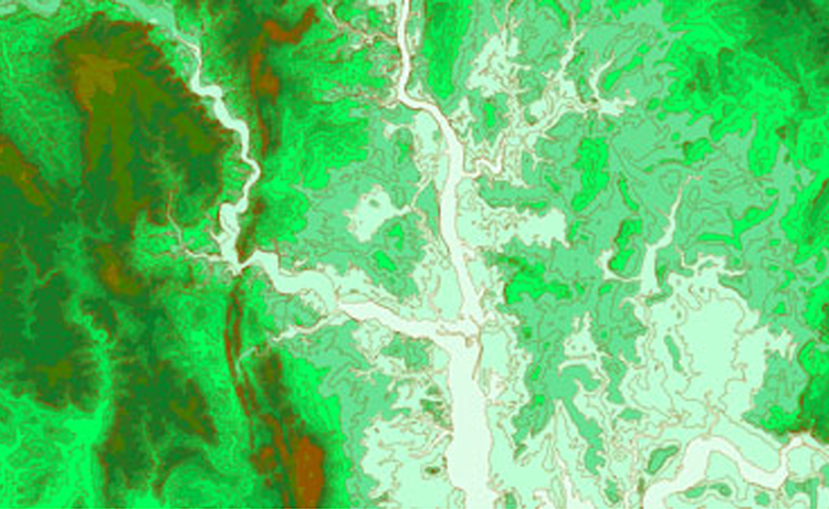
Height Data
Height data from Maps@Aworth comes in an extensive range of formats and with a vast spread of resolutions to meet any needs. The data may be brought into CAD and GIS software for a range of 3D analyses, such as terrain modelling, flood modelling, drainage analysis and environmental impact assessment.
All formats are geo-referenced with an x,y location to allow precise overlay with other OS mapping products. Our top suppliers are:
- Ordnance Survey – The OS offers datasets OS Terrain 5 with a 5m resolution and OS Terrain 50 with a 50m resolution. Both cover the whole of Great Britain and are available as DTM.
- Environment Agency – The EA LiDAR dataset comes at between 2-0.25m resolution and covers coastal, flood risk and urban centres. Available as DTM or DSM.
- Intermap – The NEXTMap dataset comes at a 5m resolution and covers the whole of Great Britain. Available as DTM or DSM.
- Cities Revealed – Focusing on urban centres and environs, Cities Revealed offers data at a 2m or 1m resolution. Available as DTM or DSM.
- Airbus Defence & Space – The Astrium LiDAR dataset comes at between 2-0.5m resolution and covers 100+ urban areas throughout Great Britain. Available as DTM or DSM.
From £14 + VAT
To buy now, or for further, advice please call 01825 768379 or email maps@aworth.co.uk
We provide same day turnaround on many of our products.
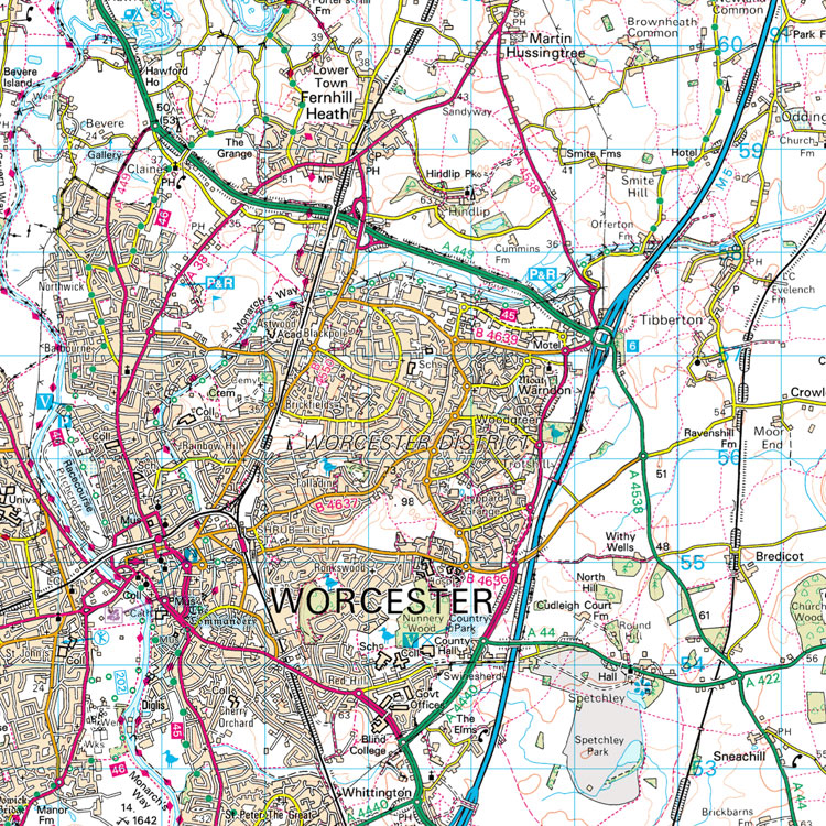
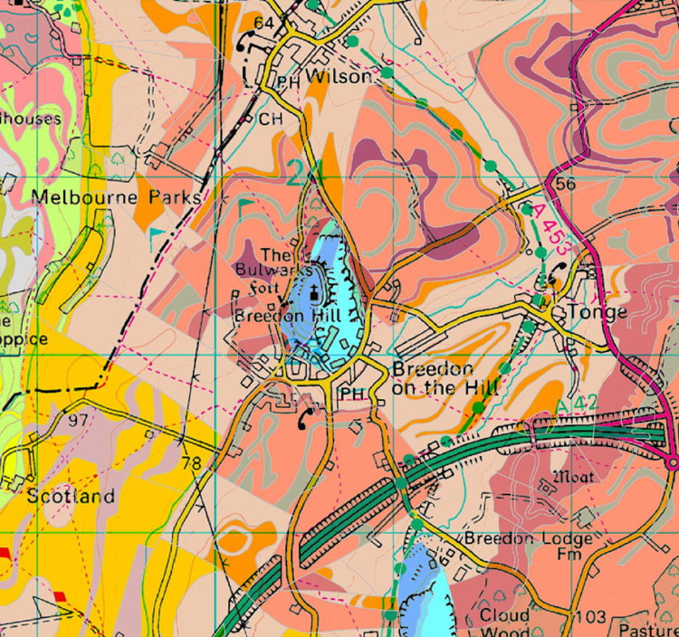
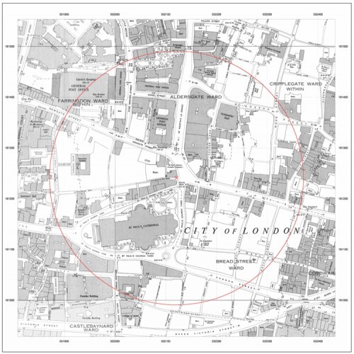
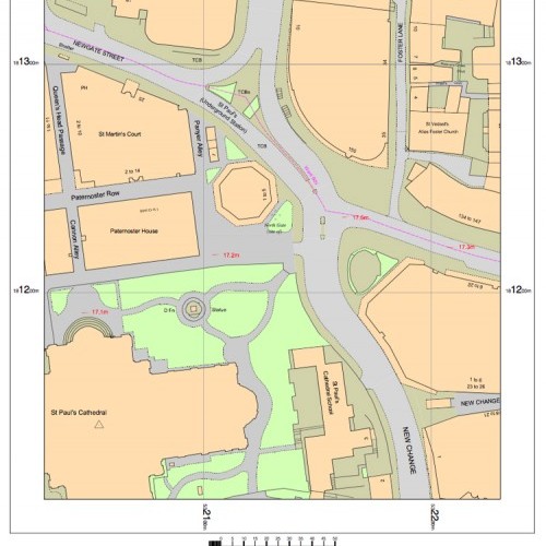
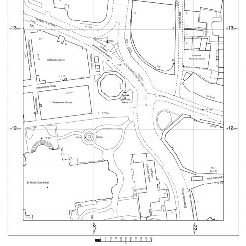
More OS Map Products
Maps@Aworth is proud to offer an extensive range of high quality, detailed mapping on a national scale. Our products include:
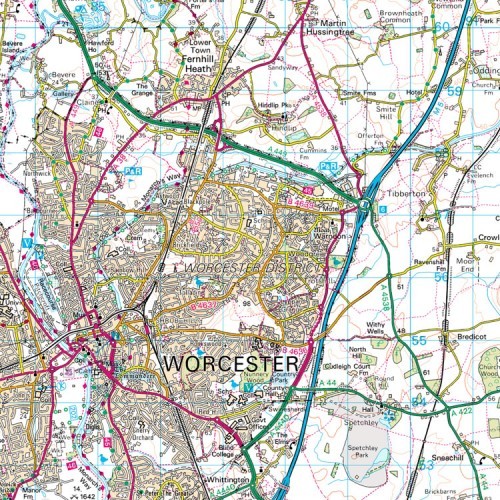
- 25k, 50k and 250k Scale Raster Mapping. Our colour raster maps are perfect for displaying large areas of land in relatively high detail. They are commonly used as walking maps, for vehicle routing, to analyse contour information or for transport planning and management.
- Vector Mapping. Vector data sets allow for easy editing and can be customised to suit any application. VectorMap Local deals with scales between 1:3,000 and 1:20,000, while VectorMap District is designed to be viewed at a 1:250,000 scale.
- Miniscale at 1:1,000,000 this is the smallest available scale for an Ordnance Survey product. As these maps show landscape features clearly, they are ideal for identifying national transit routes or plotting assets across a wide geographic area.
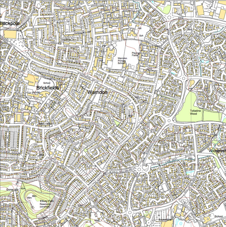
- OS Street View at 1:10,000 is our most detailed national mapping product, with coverage over the entirety of the UK. These clear, simple maps are ideal for use as a backdrop for other data.
All mapping is available in various digital formats.
From £14 + VAT
To buy now, or for further, advice please call 01825 768379 or email maps@aworth.co.uk
We provide same day turnaround on many of our products.
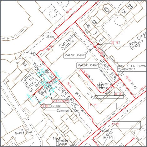
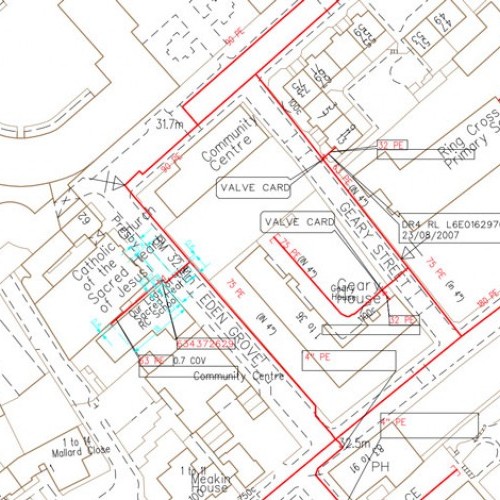
Utility Searches
Utility Search Records are provided as hard copy and PDF as standard but can be upgraded at the time of purchase to a digitised plan for use in CAD.
On request we can collate the hidden asset mapped locations into a single, comprehensive pack. The search covers the key U
underground utilities including power cables, water pipes, oil and gas pipelines, fibre-optic cables and telecoms.
In addition to providing utility search records our specialist CAD office can incorporate the stats services onto your existing drawings, or onto Ordnance Survey Digital Data in CAD layers, for an additional fee.
From £597 + VAT
To buy now, or for further, advice please call 01825 768379 or email maps@aworth.co.uk
We provide same day turnaround on many of our products.
Our Other Professional Mapping Products
Head Office
Norfolk House, Norfolk Way,
Uckfield, East Sussex TN22 1EP
T: 01825 768 319
London Office
The Lansdowne Building,
2 Landsdowne Road, Croydon CR9 2ER
Newsletter
Subscribe to our mailing list to keep in touch with all the latest news or follow us on:


![]()

© 2019 Aworth Survey Consultants. All rights reserved.
Site by: NWD